The Bureau of Ocean Energy Management (BOEM) noted on January 2, 2024 that it has updated its Guidelines for Providing Geophysical, Geotechnical, and Geohazard Information Pursuant to 30 CFR Part 585. These guidelines provide crucial information for industry professionals involved in offshore renewable energy marine sites investigations for projects such as offshore wind.
To view the complete Guidelines, click here.
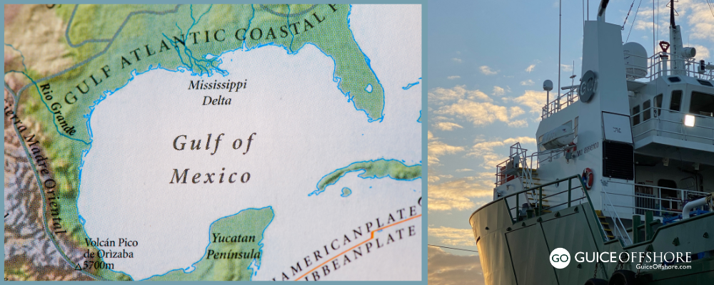
These Guidelines were last published in May 2020 and were primarily developed for the Atlantic Outer Continental Shelf (OCS). However, now that BOEM has held lease sales in the Pacific and the Gulf of Mexico OCS, it is necessary to update the guidelines to accommodate differences in anticipated geohazards and water depth.
BOEM administers the U.S. Department of the Interior regulations at 30 CFR Part 585, “Renewable Energy on the Outer Continental Shelf.” Those regulations require a lessee to submit to BOEM a Site Assessment plan, construction and operations plan (COP), or general activities plan that must be approved before a lessee may conduct any activities on the OCS described in that Plan.
Regulations in Part 585 require lessees to include the results of survey campaigns used to investigate their project area and easement as part of any construction and operations plan submission. Hazard and geological survey campaigns and the associated geophysical and geotechnical data collected are referred to as “site investigations.”
Site characterization refers to the analysis and interpretation of data collected. In these guidelines, a marine site investigation report (MSIR) refers to the integration of geological, geophysical, and geotechnical data in a document that identifies and assesses hazards for a proposed project. The MSIR and supporting data satisfy the regulatory requirement for an “overall site investigation report” for COPs and the requirement for geophysical, geological, and hazard surveys for plans, collectively.
Lessees should include data and information in their MSIR that demonstrates the technical feasibility of their proposed project within their project area and transmission corridor. The MSIR is designed to help BOEM evaluate the impact of seafloor and sub-seafloor conditions on the installation, operation, and structural integrity of any proposed OCS facilities.
BOEM recommends following these guidelines to produce data that is of the quality necessary to characterize geological and geotechnical conditions and to identify potentially hazardous features. BOEM requires such data for its technical review of any submitted Plan.
Activities proposed in all Plans must adhere to all statutes, regulations, applicable lease terms, and other relevant legally binding authority.
Purpose of the Update
The primary purpose of the January 2, 2024 update is to provide guidance to industry professionals regarding data resolution recommendations for projects proposed for construction in water depths greater than 50 meters.
The content has been expanded to include guidance for water depths exceeding 100 meters. The text was also updated to reflect likely changes to regulations if the Renewable Energy Modernization Rule is finalized. Additionally, changes have been made to reduce redundancy and provide more context for a recommended phased approach to data collection.
Summary of Changes
The updated guidelines include several key changes, including:
- Site Investigations: This section combines information previously in an associated appendix and describes three recommended sequential phases: site reconnaissance, suitability assessment, and site-specific design. Clarification has been added to distinguish that site investigations pertain to data collected. Site characterization refers to analysis and interpretation of data.
- High-Resolution Geophysical Survey: This section has been modified to align with the phased approach described in the Site Investigations section. It includes recommendations for survey coverage, data acquisition instrumentation, and data resolution based on the survey purpose and water depths exceeding 50 meters.
- Contact Information: Contact information for the Pacific and Gulf of Mexico Regional offices has been added to this section.
The updated guidelines are available on BOEM’s website.
Guice Offshore Vessels Work With Oceanographic Geophysical, Geotechnical and Geohazard Surveyors, Offshore Engineers
Guice Offshore (“GO”)’s fleet is regularly employed in a variety of support roles for hydrography, bathymetry, ocean science research and development, and other special projects requiring top-of-the-line, highly dependable offshore support vessels. Our multi-purpose vessel GO America, based in Port Everglades, Florida, operates in conjunction with our partners Global SubDive to support a large array of science and research projects, often utilizing GSD submarines and ROVs. Similarly, partner Ryan Marine is an expert in the field of unmanned vehicle operation, which allows us to provide turnkey AUV and UUV services anywhere in the United States and Caribbean.
Guice Offshore vessels like the 150 ft. DP1 GO Liberty or the 170 ft. DP1 GO Discovery are often used by geotechnical and other types of companies to perform detailed survey activities such as seabed mapping, soil investigations and core sampling. Depending on their equipment installed, our vessels can work in a variety of coastal or offshore environments and water depths. The open cargo deck, ample accommodations, excellent maneuverability and station-keeping, all coupled with an efficient cost of operations, makes the Guice Offshore fleet a consistently reliable choice for those needing an offshore supply vessel or marine transport.
For researchers looking to document their missions, Guice Offshore vessels also support movie and television productions, whose crew needs capable vessels like ours to film scenes, house crews or transport between sets. Our vessels have participated in the filming of feature films movies Deepwater Horizon and Isolation. GO America was also supporting actor in the TV series Cooper’s Treasure Season 2 and Shark Week’s “Tiger Shark King” episode. GO vessels have even been mentioned on national news programs for their participation in life-saving rescues or other offshore recovery missions. With our partners, submarines and ROVs can be provided to assist with underwater cinematography.


