- Join NOAA for a series of GeoXO events beginning July 29, 2024 HERE.
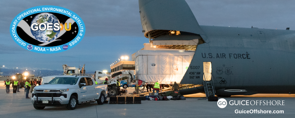
Successfully launched from Kennedy Space Center on June 25, 2024, NASA’s GOES-U is the fourth and final satellite in the Geostationary Operational Environmental Satellites (GOES) – R Series, the Western Hemisphere’s most sophisticated weather-observing and environmental-monitoring system. The GOES-R Series provides advanced imagery and atmospheric measurements, real-time mapping of lightning activity, and monitoring of space weather.
GOES-19 will track severe storms, hurricanes, wildfires, lightning, fog and other hazards that threaten most of North America, including the contiguous United States, Mexico, Central and South America and the Caribbean. The satellite will also monitor solar activity and space weather to provide early warnings of disruptions to power grids, communications, and navigation systems.
But after nearly 50 years of GOES satellites providing critical Earth-observing data and imagery, NOAA is working on its next generation series of advanced geostationary satellites—the Geostationary Extended Observations mission, or GeoXO.
GeoXO will host a payload of new instruments that will provide unprecedented information for addressing our changing planet and the evolving needs of NOAA’s data users.
One of those instruments being developed by BAE Systems is the GeoXO Ocean Color (OCX) instrument, which will provide fine-scale data about the U.S. coastal waters and the Great Lakes from geostationary orbit.
OCX’s data will also support the New Blue Economy, a sustainable and equitable ocean and coastal economy that optimizes advances in science and technology to create value-added, data-driven economic opportunities and solutions to pressing societal needs.
“The data collected with OCX will aid us in better understanding how Blue Economy industries– like offshore energy–interact with fisheries and the environment by providing a fine-scale snapshot into the exclusive economic zone, said Amber Sparks, Co-Founder of Blue Latitudes, a certified women-owned marine environmental consulting firm. “This is critical to improve impact assessments and to foster a more responsible Blue Economy for the United States.”
NOAA expects GeoXO to begin operating in the early 2030s, taking over for the GOES-R Series as it nears the end of its operational lifetime.
Get more information on the GeoXO mission and its suite of scientific instruments HERE.
Read more about OCX HERE.
GeoXO is a collaborative mission between NOAA and NASA. NASA will manage the development of the satellites and launch them for NOAA, which will operate them and deliver data to users worldwide. NOAA and NASA will work with commercial partners to design and build the GeoXO spacecraft and instruments.
To learn about the spacecraft itself, project timeline and industry collaboration, click HERE.
GOES-19 Satellite Now in Orbit
Meanwhile, on July 7, 2024, NOAA’s GOES-U executed its final engine burn, placing the satellite in geostationary orbit 22,236 miles above Earth’s equator. Upon reaching this milestone, GOES-U was renamed GOES-19. (GOES satellites are designated with a letter prior to launch and a number once they achieve geostationary orbit.)
NOAA expects to see the first images from GOES-19 in September. After completing post-launch check out, NASA will hand GOES-19 over to NOAA, which will validate the satellite’s data products and drift GOES-19 to its operational position at 75.2 degrees west longitude. NOAA plans for GOES-19 to take over as the operational GOES-East satellite in April 2025, replacing GOES-16. GOES-16 will become the on-orbit standby satellite.
Read more about GOES-19 HERE.
How Do Guice Offshore Supply Vessels Work with the Aerospace and Space Industries?
Guice Offshore works with the aerospace and space industries principally in the complex logistical and high security process of ocean recovery. With powerful cranes and winches, Guice Offshore support vessels are able to retrieve capsules and other manned or unmanned space or aeronautics machinery from the ocean, while providing plenty of deck space to carry them, along with their support crew and equipment.
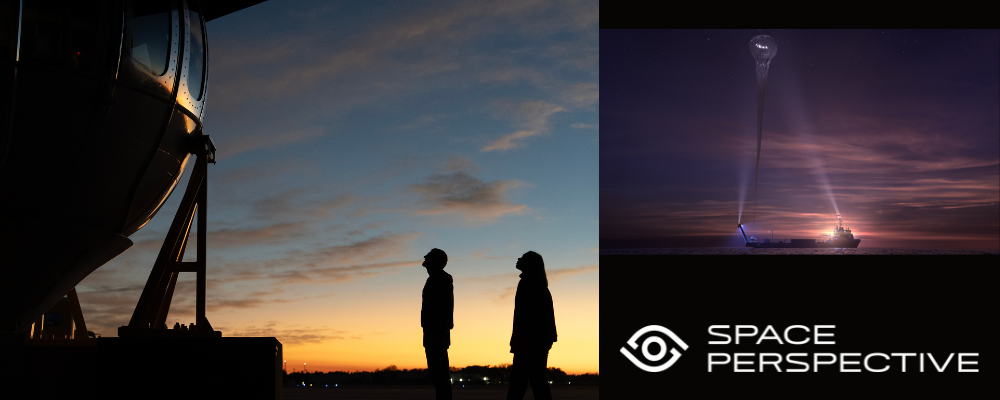
Guice Offshore is also home to the world’s first marine spaceport, Voyager, an extensively customized 294 ft x 56 ft Dynamically Positioned Class 2 platform supply vessel that will support Space Perspective’s “Spaceship Neptune,” the world’s first carbon-neutral spaceship. Carrying civilian “explorers,” Spaceship Neptune will be launched from Voyager’s broad deck and propelled to the edge of space by Space Perspective’s giant SpaceBalloon™.
Aerospace represents an important and growing segment of the global economy and the maritime sector. The industry has been principally focused on the activities centered around space craft and space flight originally for governments, but now ever-expanding to address commercial needs and even eco-tourism. This broad and complex business is often associated with research and development projects and recovery operations, all of which Guice Offshore assists in offshore operations.


