To increase protection of marine archaeological resources, the Bureau of Ocean Energy Management (BOEM) is proposing a requirement for oil and gas lessees and operators to submit an archaeological report with all plans for exploration or development on the Outer Continental Shelf (OCS) that propose seabed disturbance.
Currently, an archaeological report is required only if the plan covers an area that a BOEM Regional Director has reason to believe may contain an archaeological resource.
These proposed changes to the agency’s marine archaeology regulatory reporting requirements are being proposed to better protect shipwrecks and other cultural resources on the seabed from harm due to offshore energy activities. The changes would also update the procedure for continuing operations when an archaeological report suggests that a cultural resource may be present and what to do if an unanticipated archaeological resource is discovered during operations.
A 60-day comment period began February 15, 2023, and runs through April 17, 2023. To submit written comments, click here.
“These changes are necessary to ensure that lessees, operators, and BOEM have the information necessary to proactively identify marine archaeological resources,” said Dr. James Kendall, Gulf of Mexico Regional Director. “By improving our reporting requirements, we can increase the likelihood of identifying these important resources before they are inadvertently damaged by an OCS operator and help ensure compliance with the National Historic Preservation Act.”
Beginning in 1982, BOEM’s predecessor agency, the Minerals Management Service, developed a predictive model to attempt to define where archaeological resources were likely to exist in the Gulf of Mexico. The MMS and BOEM have since used the model to designate certain OCS lease blocks as possessing a high- or low-probability for containing archaeological resources. This model relied primarily on archival evidence of reported lost shipwrecks.
- To view a gallery of underwater images from NOAA Ocean Exploration missions, click HERE.
After evaluating over 40 years of empirical evidence collected through research conducted by and for the oil and gas industry, academic institutions, and Federal and State agencies, BOEM has concluded its predictive model is unhelpful.
BOEM explains that, in many cases, shipwrecks have been discovered in lease blocks where the agency’s predictive model had not predicted anything, and, conversely, operators surveyed lease blocks where the historical evidence suggested a shipwreck should be located and found nothing. This problem is compounded by the fact that the scarcity of historical and archival materials correlates to the age of the shipwreck or archaeological resource, such that the resources least likely to be accurately identified in the models are sometimes the oldest and most significant.
Now, BOEM has determined that previously undiscovered archaeological resources may be present in any OCS lease block in any BOEM region regardless of the model’s results. Because the model’s accuracy hinges on sufficiently accurate and robust underlying data and because such data is neither accurate nor robust for the offshore environment, BOEM determined that a better approach is necessary.
To rectify this, BOEM proposes to delete the current “reason to believe” standard from its approvals process and instead require lessees and operators to submit an archaeological report with all plans that propose seabed disturbance. This report must be based on a site-specific, high-resolution geophysical (HRG) survey that effectively identifies potential archaeological resources.
HRG surveys are routinely used in the offshore environment to identify the presence or absence of potential geological and man-made hazards, sensitive biological habitats, and marine archaeological resources. In keeping with professional standards that have evolved since the existing regulations were adopted, this proposed revision would define the minimum level of survey information necessary to support the conclusions in the archaeological report.
This proposed Rule would increase the likelihood that archaeological resources are located and identified before they are inadvertently damaged by an OCS operator, thereby assuring fulfillment of BOEM’s “reasonable and good faith identification effort” pursuant to the National Historic Preservation Act (NHPA). It would also provide for the development of appropriate mitigations to avoid damaging historic and archaeological resources under the National Environmental Policy Act (NEPA).
The changes would define the minimum level of survey information necessary to support the conclusions in an archaeological report, the procedure for reporting possible archaeological resources, the procedure for continuing operations when a possible resource is present, and what to do if an unanticipated archaeological resource is discovered during operation.
The required report would be based on a site-specific, high-resolution geophysical (HRG) survey that effectively identifies potential archaeological resources. HRG surveys are routinely used in the offshore environment to identify the presence or absence of potential geological and man-made hazards, sensitive biological habitats and marine archaeological resources.
In keeping with professional standards that have evolved since the existing regulations were adopted, this proposed revision would define the minimum level of survey information necessary to support the conclusions in the archaeological report.
BOEM notes that, in some cases, lessees perform the functions of operators acting on their own behalf and, in other cases, operators are contracted to perform certain functions on behalf of the lessee(s). Accordingly, the proposed Rule notes that any reference to the term “operator” should be considered to apply to lessee(s), as well, to the extent that they perform the functions that would typically be contracted to a third party.
To submit comments via Regulations.gov, click here and follow the instructions to submit public comments and view available supporting and related materials.
Guice Offshore Vessels — Part of the Offshore Oil and Gas Industry Toolbox
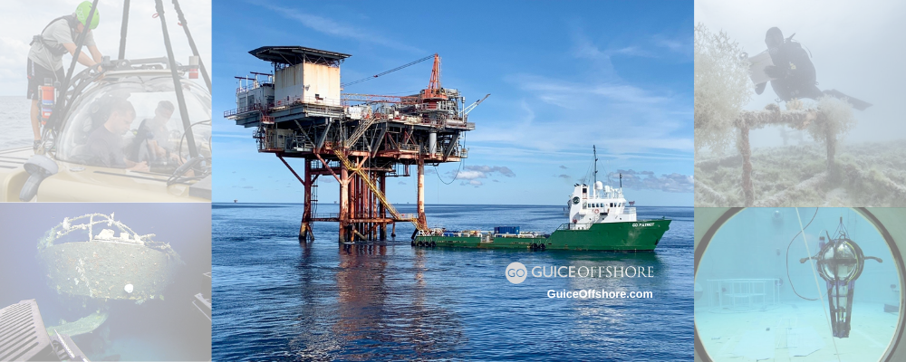
Guice Offshore’s mini supply vessel fleet is a trusted partner in offshore oil and gas operations. Our support vessels play a necessary and critical role in the offshore exploration and production (E&P) environment and are utilized in almost every phase of the extraction process from survey and drilling, to production and abandonment.
Guice Offshore (GO) maintains a strong presence in the northern Gulf of Mexico E&P sector. our vessels are most often employed in support of Platform and Pipeline Operations (production activities, logistics, diving, ROV, inspection, maintenance, repair, plug and abandonment). We also participate in certain early phases of operations like surveying.
Geotechnical and Geologic Ocean Seabed Surveys
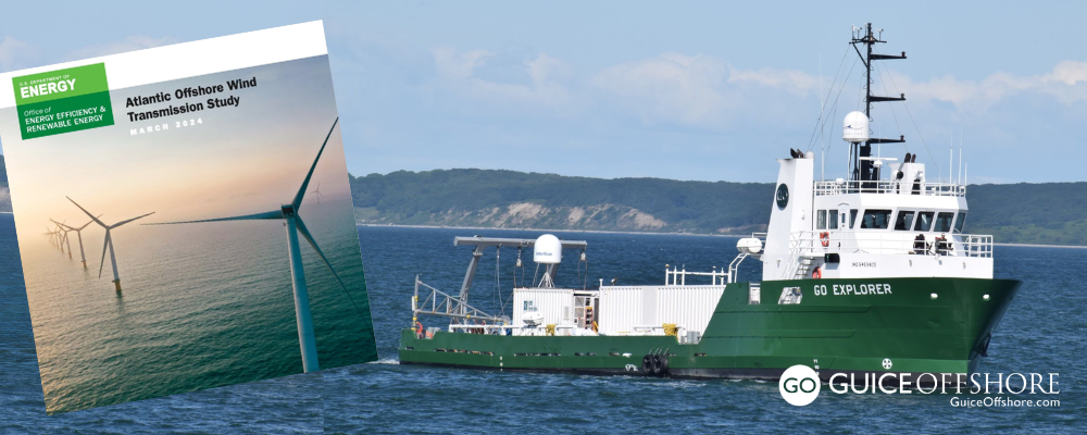
Utilizing vessels like Guice Offshore’s 150 ft. DP1 GO Liberty or the 170 ft DP1 GO Discovery, geotechnical companies can perform detailed survey activities for their oil and gas industry clients, such as seabed mapping, soil investigations and core sampling.
Depending on their equipment installed, Guice Offshore vessels can work in a variety of coastal or offshore environments and water depths. Open cargo decks, ample accommodations, excellent maneuverability and station-keeping, all coupled with an efficient cost of operations, makes the GO fleet a consistently reliable choice for the offshore oil and gas industry.
Oil Rig Inspection, Maintenance and Repair (IMR)
GO vessels facilitate the inspection, maintenance and/or repair of offshore pipelines, subsea structures, floating and fixed platforms and drilling rigs in a range of water depths. Our IMR support activities extend well beyond traditional oil and gas roles, and can include any number of industries such as offshore wind turbines, power cables, subsea or surface commissioning of structures, and sustainable energy equipment.
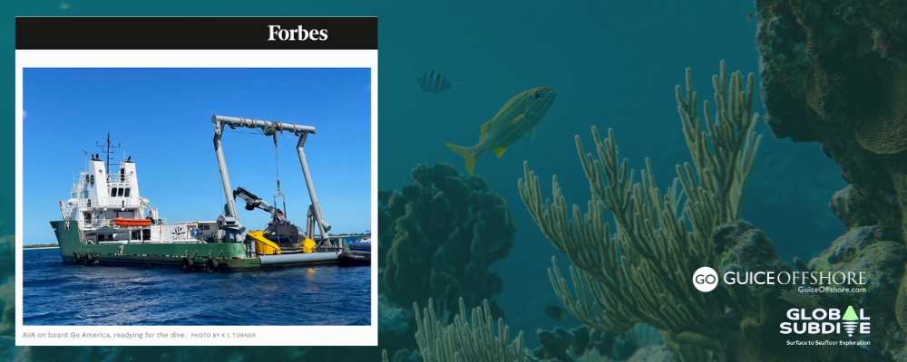
Often, IMR activities are conducted with Remotely Operated Vehicles (“ROVs”). Our GO Fleet possesses the accommodations, dynamic positioning (DP) station-keeping technology and removable side cargo rails necessary to support these operations.


